Planning under Uncertainty
Enhancing Decision-Making Efficacy for Collecting Critical Data in Target Environments
Information Gathering
While satellite imagery is powerful for wide-area monitoring, it has limitations in providing immediate, high-resolution data for a specific location on demand. To bridge this gap, we leverage UAVs to acquire high-precision customizable in-situ. This on-the-ground flexibility is critical for time-sensitive scenarios.
However, operating a flying robot in hard-to-access environments can be challenging and expensive. Our advanced planning algorithms overcome this by enabling the robot to autonomously make efficient and robust decisions in dynamically changing environments. The data obtained through this process can be utilized for both real-time analysis and post-processing, contributing to an enhanced situational awareness.

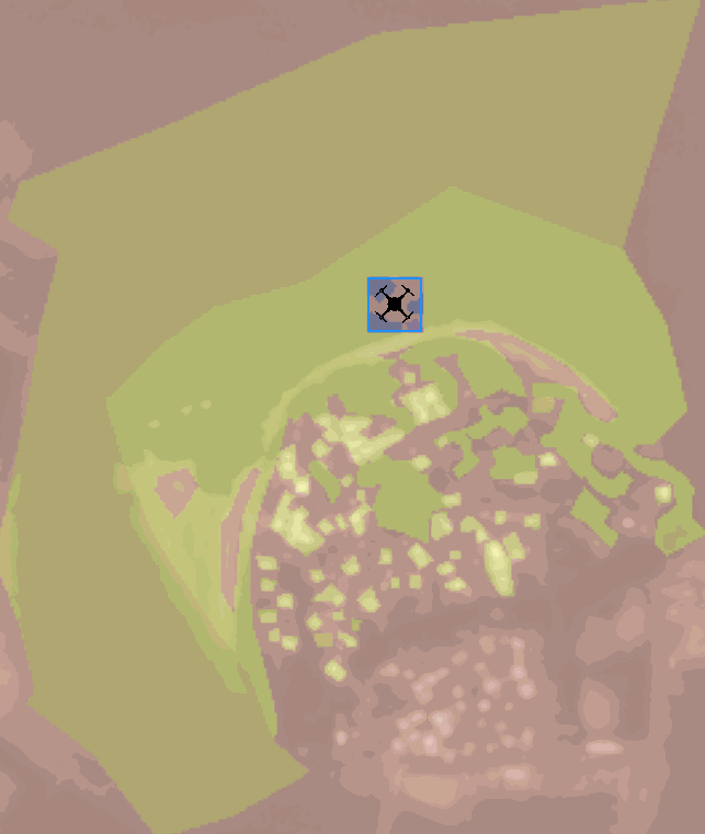
In the following use case, a simulated drone autonomously and intelligently develops a non-myopic information gathering plan to reduce uncertainty in coastal area data. Its path is strategically designed to observe regions with higher uncertainty represented by the brighter, whiter areas on the overlaid heatmap.